OK, red herring. Actually, I think I must have said “hell no” at some point when a web site asked to see where I was located. So this was the result when I looked for the distance to the closest branch of Scotia Bank, whose debit cards are replacing the Tienda Inglesa points cards.
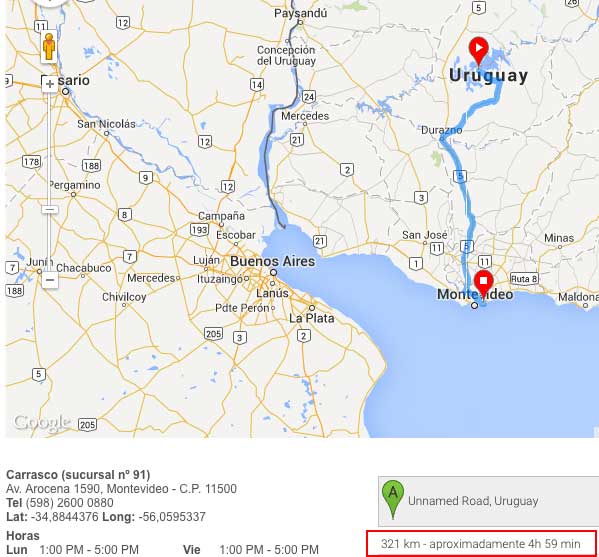
Hint: we’re only about 40 km away.
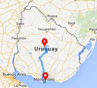
But presumably I know now the geographic center of Uruguay, which is here:
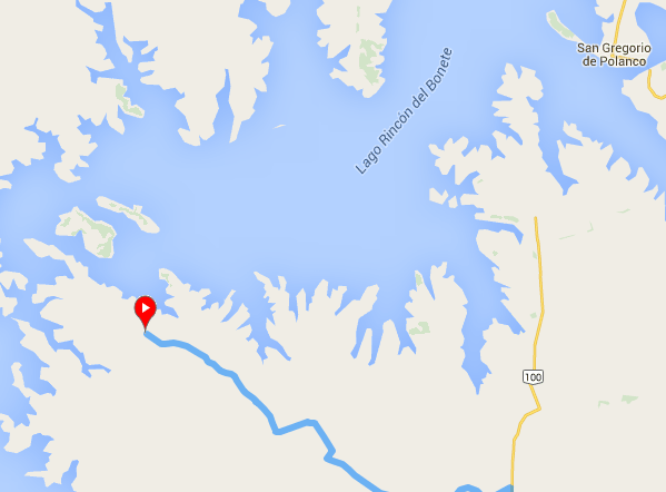
So naturally, rather than do something productive, I switched to satellite view to find out where I “was.” Looks pretty remote:
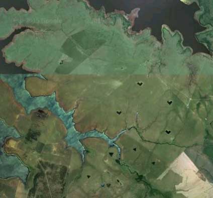
But wait a minute! What are those shapes?
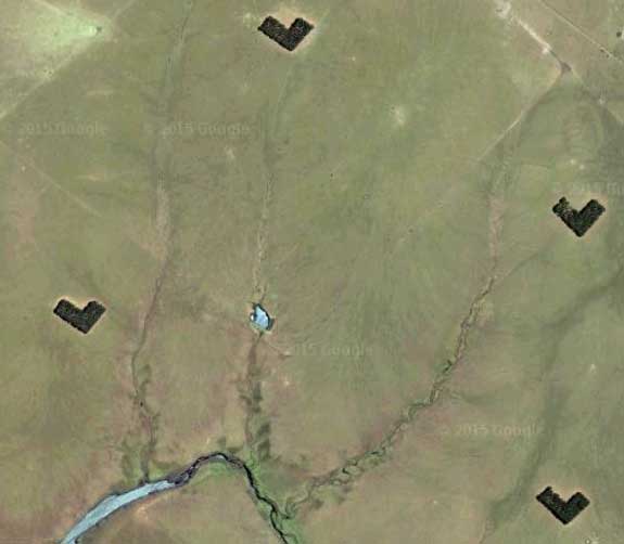
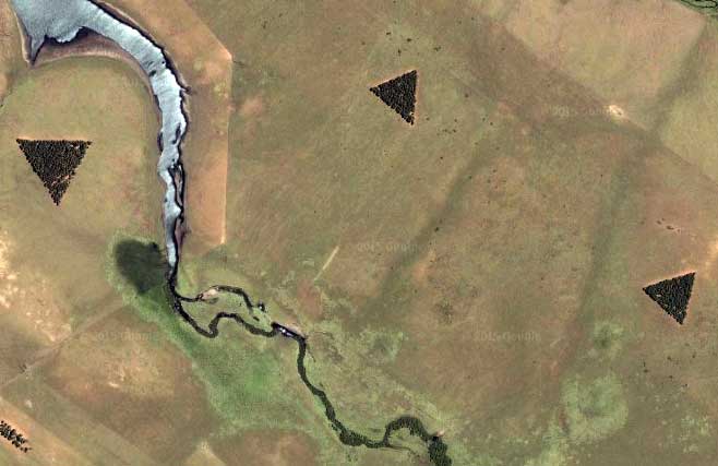
Why, L-shaped and triangular patches of forest, of course.
You can find all sorts of fun tree patterns on Google Earth in Uruguay, which apparently takes the growing of Eucalyptus trees more seriously than its neighbor to the northeast, Brazil.
But triangles … why triangles?